At least one pump station, a number of river crossings, a dam and a weir are among the Bundaberg sites fitted by the QLD government with sophisticated and resilient early warning systems to prepare residents for future floods.
Queensland Community Recovery and Resilience Minister David Crisafulli said a network of 30 river and rain gauges now criss-crossed the Burnett River, linked to state-of-the-art computer programs so home owners could see exactly how rising flood water would affect their home.
“We have thrown a net over the Bundaberg floodplain to provide locals with the latest rainfall and river levels so they can best prepare for flooding,” Mr Crisafulli said.
“A lack of accurate information was one of the major concerns locals raised after the 2013 floods and we have responded by pulling this network together as quickly as possible.
“Next month, the early warning system will be further improved with the addition of flood mapping data from the Kolan River and Gin Gin Creek.”
The ALERT gauges, together with detailed flood studies and mapping of the lower Burnett River provide a clear picture of what happens as river levels rise.
Mr Crisafulli said the information was fed to the Bureau of Meteorology (BOM) with real-time information then available on the Bundaberg Regional Council’s website.
“This information will be crucial in helping people decide if they need to evacuate and if so, the best evacuation route to take,” he said.
“We will never flood-proof a state like Queensland but we are determined to do everything we can to better protect people in flood-prone areas.
“Previous governments failed to prepare for natural disasters, but the Newman Government is rolling out the largest flood mitigation plan in a generation to make sure Queensland is the most resilient state in Australia.”
The project was made possible with $205,000 from the Local Government Grants and Subsidies Program and funding from BOM for a new gauge in the heart of Bundaberg.
The new network includes:
- Installation of BOM Enviromon system at Bundaberg Regional Council
- Installation of primary repeater sites at Mt Goonaneman and Mt Watalgan (VHF radio repeaters)
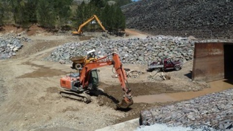
- River gauges: upgrades to the Burnett River river gauging stations at Coringa, Figtree, Mt Rawdon, Walla, Mingo Crossing, Mt Lawless, Paradise Dam, Woongarra Pump Station and Walla Weir with existing sites now linked at St Agnes Creek, Ford St at Bundaberg and Gin Gin Creek
- Rain gauges: Installation of rain gauges at Coringa, Figtree, Mt Rawdon, Walla, Mingo Crossing, Mt Lawless, Paradise Dam, Woongarra Pump Station and Walla Weir with existing sites now linked at St Agnes Creek, Ford St at Bundaberg and Gin Gin Creek
- Installation of rain gauges at Mt Goonaneman and Mt Watalgan; plus installation of six additional Alert rainfall only stations in previously ungauged areas of the sub-catchment between Mt Lawless and Walla
- Installation by BOM of a new automatic river and rain gauge ALERT station at Bundaberg replacing the manual gauge
Mr Crisafulli said that collecting better information was only part of the state’s flood mitigation strategy.